
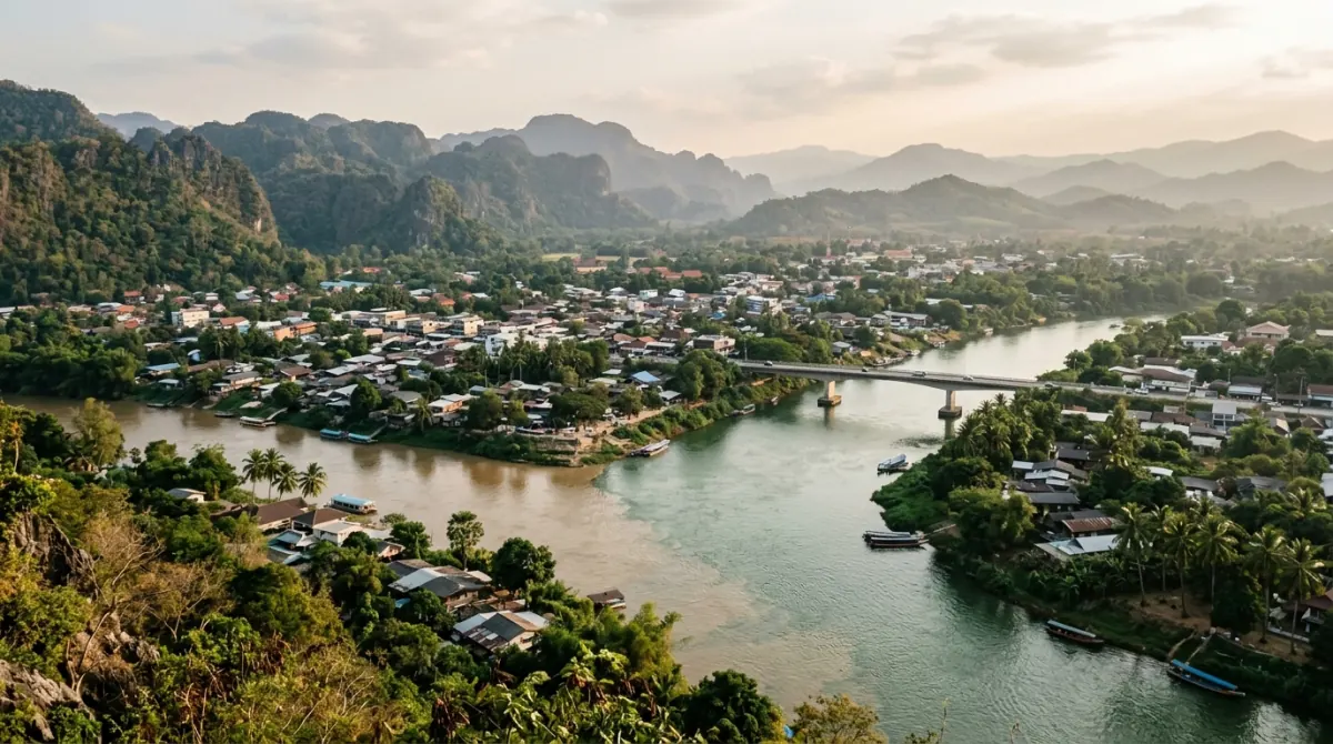
Kanchanaburi town sits about 130 km west of Bangkok, two to two and a half hours by road. The province behind it is Thailand's third largest and runs another 220 km north to the Myanmar border. Plan it as four separate zones rather than one destination: town, Erawan, Sai Yok, Sangkhlaburi.
At a glance
| Province area | About 19,500 sq km — Thailand's third largest, after Nakhon Ratchasima and Chiang Mai |
| Districts | 13, from Tha Maka on the central plains to Sangkhla Buri on the Myanmar border |
| Forest cover | About 61.5% of the province |
| Western boundary | Myanmar — Kayin State, Mon State and the Tanintharyi Region |
| The two rivers | Khwae Yai (about 380 km) and Khwae Noi (about 279 km) |
| Where they meet | Pak Phraek, in Kanchanaburi town, forming the Mae Klong |
| Town from Bangkok | About 130 km; 2–2.5 hours by road in normal traffic |
| Town to Sangkhlaburi | About 220 km on Highway 323; 3.5–4 hours |
| Zones this guide uses | Town · Erawan and Si Sawat · Sai Yok · Sangkhlaburi |
19,500 sq km, and the town is only the front door
Kanchanaburi province covers about 19,500 sq km, which makes it the third largest in Thailand behind Nakhon Ratchasima and Chiang Mai. It is shaped like a long wedge. The narrow eastern end sits on the flat central plains around Tha Maka and Tha Muang, an hour and a bit from Bangkok and indistinguishable from the rice country you drove through to get there. From there it widens and climbs northwest into the Tenasserim Hills, and its far corner — Sangkhla Buri district — touches Myanmar's Kayin State, Mon State and Tanintharyi Region. About 61.5% of the province is still forest by the figure most commonly quoted, most of it in that upper half, across a run of national parks.
That shape is the thing to hold on to, because almost nobody books "Kanchanaburi province." They book Kanchanaburi, meaning the town, and then discover that the waterfall they wanted is 70 km further on and the wooden bridge they saw a photograph of is 220 km further on than that. Kanchanaburi town is a modest provincial capital of maybe an hour's worth of walking. The reason to come is spread across a province you could drive for four hours without leaving.
Two rivers meet in town, and they decide what is where
Kanchanaburi town exists because two rivers join there. The Khwae Yai comes down from the north, rising in the hills of Umphang district and dammed since 1980 at Srinagarind in Si Sawat, a 140 m wall holding back a reservoir usually given as roughly 17.7 billion cubic metres. The Khwae Noi comes down from the northwest, off the Bilauktaung ridge near the Myanmar border, and is dammed in its turn at Vajiralongkorn — still widely called Khao Laem — in Thong Pha Phum. The two meet at Pak Phraek in the middle of town, a name that simply means the junction of the waters, and from that point the combined river is the Mae Klong, which runs south to the Gulf of Thailand at Samut Songkhram.
The roads copy the rivers, and that is what makes the confluence worth understanding before you plan anything. Route 3199 follows the Khwae Yai north into Si Sawat: that is the road to Erawan, to the reservoir, to Huay Mae Khamin. Highway 323 follows the Khwae Noi northwest through Sai Yok and keeps going all the way to the border: that is the road to Hellfire Pass, to the raft houses, to Sangkhlaburi. The two roads share their first stretch out of town, then split and never rejoin. Everything north of Kanchanaburi is on one arm or the other.
There is also a naming trap. The bridge the POWs built at Kanchanaburi crossed what was then the Mae Klong; the film that made it famous called the river the Kwai, and in the 1960s Thailand renamed that stretch Khwae Yai so the map would agree with the story. "Khwae" is the correct transliteration and "Kwai" the tourist spelling, and you will see both on signs, sometimes on the same sign. Chapter 3 covers what is standing at the bridge today.
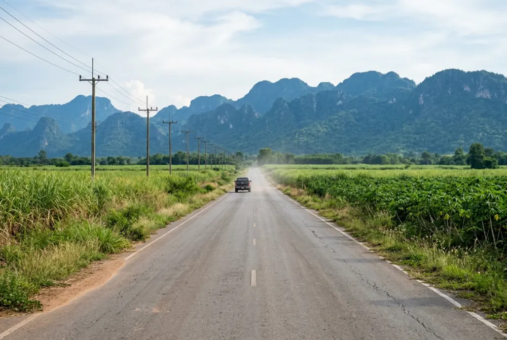
Where is everything in Kanchanaburi province?
Kanchanaburi town. The confluence, the wartime sites, and everything practical. The Bridge over the River Kwai is about 5 km north of the town centre, and the two Commonwealth war cemeteries, the Thailand-Burma Railway Centre and the JEATH museum are all in or just outside town — chapter 3 covers the lot. Cheap guesthouses and floating bars cluster along Mae Nam Khwae Road, a strip you can walk end to end in about twenty minutes. The bus terminal and the railway station are both here. Unless you have booked a raft house upriver, this is where you sleep, and every distance in this chapter is measured from it.
Erawan and Si Sawat. The Khwae Yai arm, north on Route 3199. Erawan National Park is roughly 65 to 75 km out, about an hour and fifteen minutes, and is the single most visited thing in the province after the bridge. Keep going past it into Si Sawat district and you reach the Srinagarind reservoir and, about 110 km from town on a road that narrows and climbs in switchbacks for the last stretch, Huay Mae Khamin — quieter than Erawan and much harder to reach, with no public transport of any kind serving it. Chapter 4 handles fees, tiers and which months have water.
Sai Yok. The Khwae Noi arm, northwest on Highway 323, and the busiest single corridor in the province. Hellfire Pass is about 80 to 85 km out, roughly an hour and twenty minutes. Sai Yok Noi waterfall sits right on the highway at about 60 km. Sai Yok National Park headquarters, with Sai Yok Yai and the caves, is around 100 km. The Death Railway ran up this valley, and the surviving passenger line still does, ending at Nam Tok. Most of the river raft houses are on this stretch too — chapter 5.
Sangkhlaburi. Keep on Highway 323 for another 220 km beyond town and you reach a border district on the shore of the Khao Laem reservoir, with a Mon community, a wooden footbridge and a submerged temple. It is 3.5 to 4 hours from Kanchanaburi town on a single mountain road, which puts it outside the reach of any day trip and outside the reach of most two-day ones. Chapter 6 makes the case for and against the drive.
Measure every trip as two legs
Every road into the province funnels through or past Kanchanaburi town, so distances here work as one long leg from Bangkok plus a second leg out of town.
| From | Kanchanaburi town | Erawan / Si Sawat | Sai Yok | Sangkhlaburi |
|---|---|---|---|---|
| Bangkok city centre | ~130 km · 2–2.5 h | ~200 km · ~3.5 h | ~215 km · 3.5–4 h | ~350 km · 5.5–6 h |
| Suvarnabhumi (BKK) | ~155 km · 2.5–3 h | ~225 km · ~4 h | ~240 km · 4–4.5 h | ~375 km · 6–6.5 h |
| Don Mueang (DMK) | ~135 km · 2–2.5 h | ~205 km · ~3.5 h | ~220 km · 3.5–4 h | ~355 km · 5.5–6 h |
| Kanchanaburi town | — | 65–75 km · ~1h15 | 80–100 km · 1h20–2h | ~220 km · 3.5–4 h |
Reference points: Erawan National Park headquarters; Hellfire Pass for the near end of the Sai Yok corridor and Sai Yok National Park headquarters for the far end; Sangkhlaburi town.
Only the figures in the first column and the bottom row are independently measured. The outer-zone totals from Bangkok and the airports are the town figure plus the onward leg, because that is the route, but nobody has published door-to-door measurements for them. Routing engines quote free-flowing times — Suvarnabhumi to Kanchanaburi computes at about 1 hour 52 minutes and is nothing like that in practice, because the road crosses the entire width of Bangkok east to west before it starts going anywhere. The ranges above are padded for real traffic and are still optimistic on a Friday afternoon. The distance from town to Sai Yok National Park headquarters is disputed: Thai National Parks says about 100 km, a routing engine computes 113 km, and the gap is probably a difference in which building each is aiming at.
Where a town-to-zone figure is printed as a range, the range is the answer; take the lower end only if you are on the road before the traffic. Going back the other way, plan the town-to-central-Bangkok leg at two and a half hours rather than two, since you are arriving into the city instead of leaving it; that is the figure the timed plans in chapter 8 use.
Suvarnabhumi is about 20 km further from Kanchanaburi than Don Mueang and, more to the point, on the wrong side of the city. If you can choose your arrival airport and Kanchanaburi is your first stop, Don Mueang saves the better part of an hour. Chapter 2 compares the ways of covering that first leg — car, minivan, bus and the Thonburi train — with times and fares.
Matching a zone to the length of your trip
One day from Bangkok means one zone. This is the part most plans get wrong. Four and a half to five hours of the day are already spent in a vehicle before you have looked at anything, so the realistic choice is town and its wartime sites, or Erawan, or the Sai Yok corridor — not two of them, and certainly not three. A day trip that promises the bridge, a waterfall and Hellfire Pass is promising a coach schedule, not a day out.
Two days is the shape that works. One day in and around town, one day on either the Erawan road or the Sai Yok road, sleeping in town or at a raft house between them. This is the version most people should book, and it is the reason this guide exists in the form it does.
Three days adds a second outer zone, or lets you take the Sai Yok corridor slowly — Hellfire Pass in the morning, a raft house that afternoon, the Death Railway train the next day.
Sangkhlaburi needs its own overnight, and realistically its own two nights. Seven to eight hours of driving return from Kanchanaburi town is not a day.
The other constraint is that public transport thins out fast as you go north and west. Buses run up Highway 323 and to Erawan; nothing scheduled reaches Huay Mae Khamin, and the last bus back from Erawan leaves at 16:30, which ends the day for anyone without a vehicle. A car with a driver does not add a second zone to a one-day trip — the driving between zones is the same either way — but it buys back the two or three hours that waiting for buses and negotiating songthaews takes inside the zone you have chosen, and it removes that 16:30 deadline. Fares are on the booking page. Chapter 2 compares the modes, and chapter 8 turns all of this into timed itineraries.